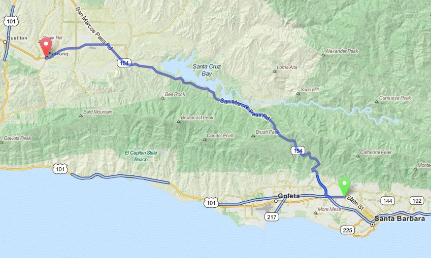
Santa Barbara to Solvang - California
Distance: 30.4 Miles Duration: 39 Minutes
Data, imagery and map information provided by MapQuest, Open Street Map and contributors, CC-BY-SA,.
Directions
Starting Point: Intersection of State St and Las Positas Rd
1. Head west on State St
1.1 Miles
2. Turn right onto Calle Real
0.3 Miles
3. Turn right onto CA-154 W/California State Route 154/San Marcos Pass Rd
23.9 Miles
4. Turn left onto CA-246 W/Mission Dr
5.0 Miles
End Route
Other Cities or Towns that this Route passes through:
Santa Ynez, CA
Lake Cachuma
Directions from scenicdriver.com are only to be used for planning purposes. It is possible that traffic, weather, construction projects or other events may cause conditions to differ from the directions listed and the map image shown, please plan your route accordingly. All signs or notices regarding your route must be obeyed.
